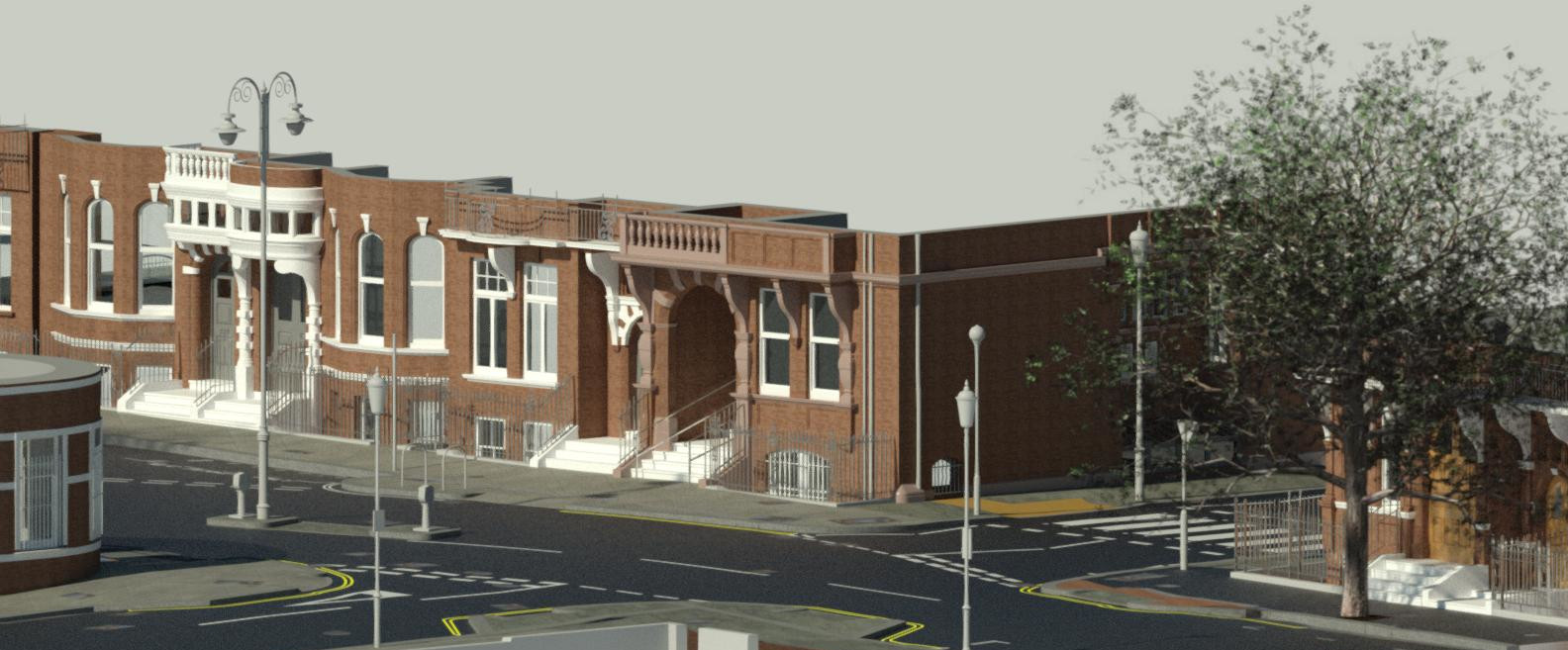
A busy road in Chelsea.
Deliverables included 2d Autocad plans, Autocad civils, a 3d Revit model and a utility services trace.
A closed loop traverse control scheme was established using traditional electronic theodolites, targets were also established and fixed for the laser scanner. A Leica p50 laser scanner was used to capture all of the levels, road surfaces, street furniture, service covers and building elevations Autodesk Revit was used to create the model which needed to show up to the first floor detail of the buildings and all road markings.
More information is available, 3D modelling and laser scanning.