The Meon Survey Partnership can provide accurate 3D data for all uses, whether you need a basic wireframe, a solid model, surface model or a parametric model suitable for Revit, we can provide a solution. Working from traditional 2D survey data or 3D laser scanning we can provide this data for use with a multitude of modelling packages.

BIM or Building Information Models can be produced from either traditional survey techniques, point clouds or a combination of the two..
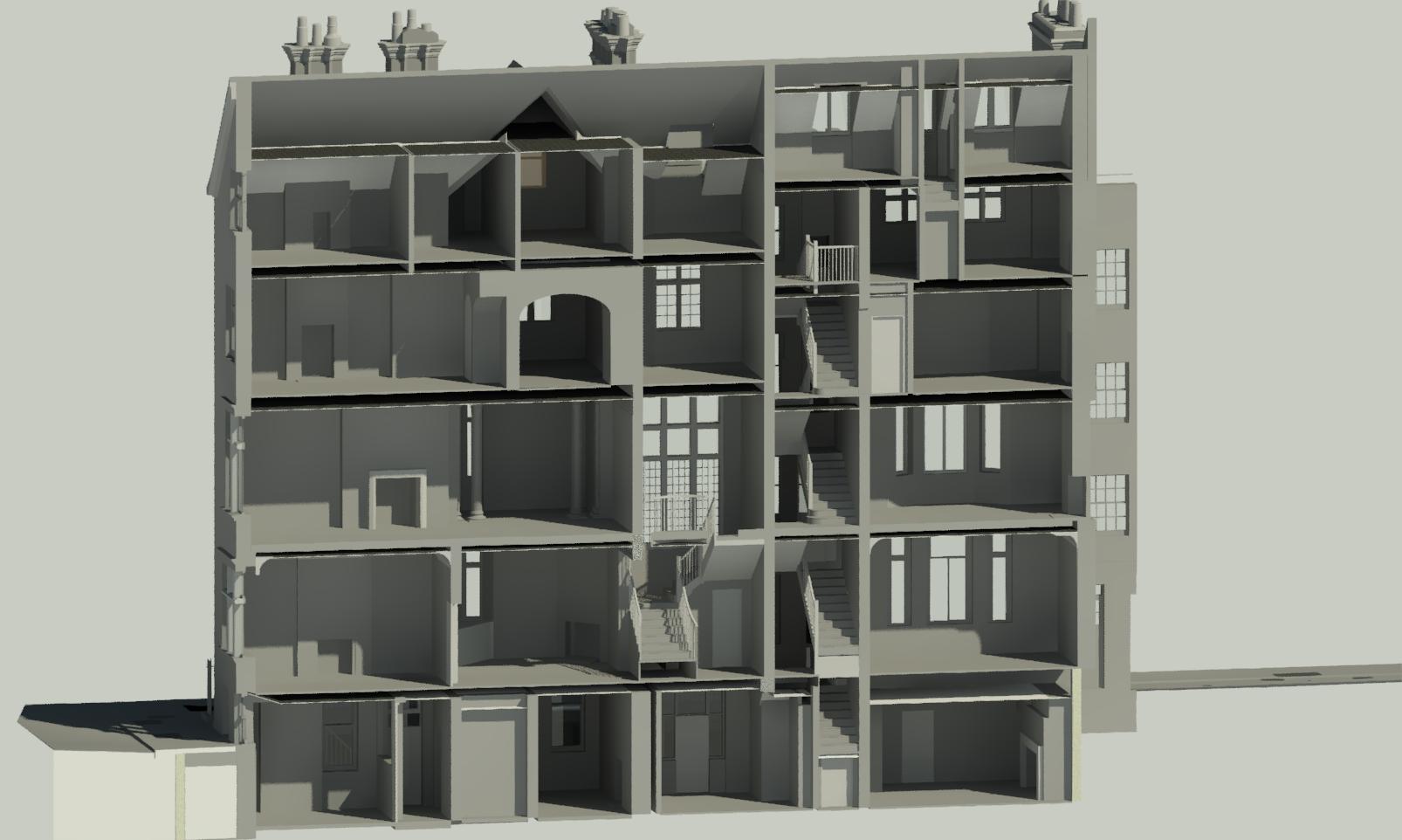
After determining the level of detail required for the model we can start the construction process, we have core personnel who are expert with Revit and are very experienced in producing a 3D BIM model using Revit, depending on the project we also produce Revit models direct from 3d point cloud data or scan2bim as it's commonly known. We now have a Revit checklist where the requirements and level of detail can be specified.

We carry out a wide range of 3d modelling projects, including buildings, topographic, ground terrain and mass models for rights of light studies...
The models can be in a wireframe, surface or solid format suitable for a wide range of software. We predominantly use Autodesk software which is on a subscription basis ensuring that our company is using the most up-to-date software, these Autodesk products include Autocad, Revit, Architectiture, Civil 3D, Mapping 3D and 3D Studio Max, we also use SketchUp. All our cad staff are fully trained and have external accreditation for 3d Autocad and have recently completed a Revit training programme. With the knowledge, experience and equipment within our practice we have the ability to produce impressive 3d models.

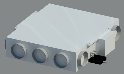
Using Revit we have produced numerous 3D families of a range of fan coil units, these models are created from existing 2d drawings...
These models are highly accurate with many custom options for distribution to potential and existing clients, this demonstrates the skillsets available within the Meon Survey Partnership.
Revit - We have a created a Revit BIM specification sheet which is available in PDF, with this you can select the level of detail required for your project, fill in the contact form and we will email you a copy.
We predominantly use Autodesk software which is on a subscription basis ensuring that our company is using the most up-to-date software, these Autodesk products include Autocad, Revit, Architecture, Civil 3D, Mapping 3D and 3D Studio Max, we also use SketchUp.
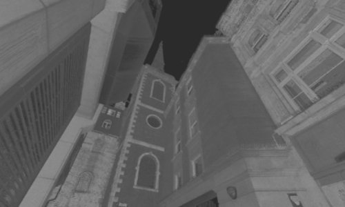
We also use the latest high definition scanners for producing 3d point clouds, see our laser scanning page for more details... We can also provide high resolution 360 degree panoramic images perfect for creating virtual tours, panoramic photographs and street scenes, read more....
We can provide high resolution photography and 360 degree panoramic images perfect for creating rectified photography, virtual tours, panoramic photographs and street scenes, read more....
Share this page...
Please contact us if you require a quotation or any further information, we will be delighted to help!