Thank you for taking the time to visit our website.
The Meon Survey Partnership is a specialist land survey & measured building survey company based in Hampshire in the South of England, a short journey from London. We pride ourselves in providing a high quality service for large or small projects. The company, although based in Hampshire operates Nationally and Overseas. Our services include topographic surveys, measured building surveys, laser scanning, 3D modelling, BIM, photogrammetry, 360° panoramas, virtual tours, rectified photography and aerial survey/photography using a UAV/drone.
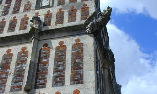
Measured building surveys provide clients with detailed internal floor plans, sections, elevations & 3D models of all aspects for a given building or structure.
Read more
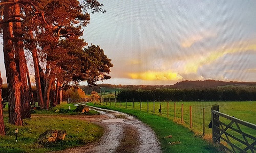
Topographic surveys are prepared at all scales, with level and contour information. Drainage and service details can also be supplied.
Read more
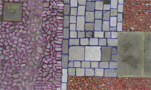
Photogrammetric surveys using photographs to create 3d models of fine detailed objects or true to size images. Linework can be overlaid as above.
Read more
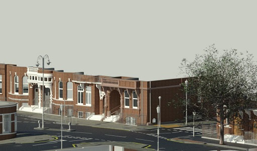
3D models can be produced for all formats whether for a ground terrain model, rights of light mass model or a fully detailed surface model. 3D textured models can also be provided.
Read more
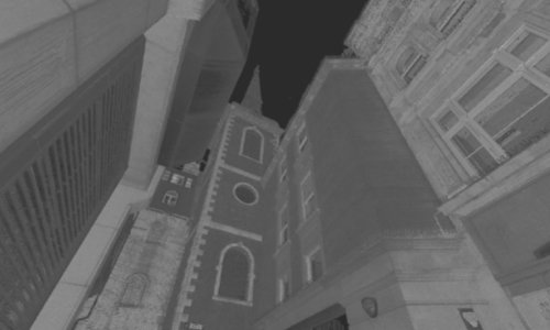
Laser scanning in high definition, this technology can create 3d 'point clouds' of millions of data points, collected in minutes. We have extensive experience in this and can provide solutions for your project.
Read more
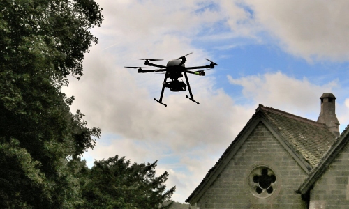
We offer a wide range of services using a drone/UAV, we are able to provide aerial photography, 3D modelling and photogrammetric solutions.
Read more
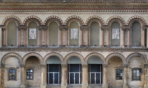
High quality rectified/ortho imagery using high resolution DSLR, many uses including historic facades, artifacts and interiors, expert solutions. Photogrammetry and 360 Virtual Tours using DSLR.
Read more
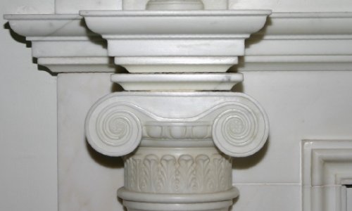
We carry out a wide range of other services including lease and area plans, rights of light surveys, mechanical engineering models, control schemes, rectified photography and 360 photography.
Read more
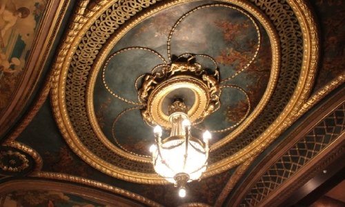
Case studies of a selection of projects, including a building survey of the Duke of York's HQ in Chelsea, laser scanning at RAF Halton and a ceiling void survey of the Theatre Royal, Haymarket.
Read more
Why choose The Meon Survey Partnership?
-We carry the relevant insurances including RICS compliant Professional Indemnity Insurance.
-If we are unclear we discuss the client's requirements and form a specification that is tailored to the client's needs, once the specification is agreed we work to that throughout the project.
-We use tried and tested survey techniques to gather, process and plot the data we collect.
-We pride ourselves on a quality product that is clear, accurate and well presented.
-We support the project by providing additional data or surveying support throughout the project.
-We don't cut corners, for example all of our measured surveys are fully controlled, many companies will assume verticality and lots of companies will use software that assumes right-angles, we produce a survey you can trust.
- All our staff are trained and experienced, we don't outsource our work to overseas companies or hire agency staff.
Latest news;
The new year started with a large, occupied commercial building survey in west London. This has been followed by several smaller residential property surveys and a small setting-out project at a historic site near Tower Bridge.
The company wishes Keith Whiting a happy retirement in Dorset. All of us at Meon Survey would like to thank Keith for all his hard work over the last 26 years.
This month we have been appointed to carry out metrological scans of historic items for a Cathedral in the west country.
A visit to Geo-Business 2024 and a catch up with all the latest technology.
A huge variety of surveys on the go at the moment from school drainage runs to Historic listed buildings to a 3d Revit model of a factory unit, a bit of monitoring and a couple of topos too.
We are pleased to announce the arrival of a new director Robert Garne. Robert is well known to us at Meon, he has a wealth of survey knowledge and experience and will make a great contribution to the continued success of the company.
Historic buildings are popular at the moment! Five fantastic survey projects in the last three months, all with rectified photography and superimposed linework.
We are now on twitter, please follow us...
We have a created a Revit BIM specification sheet which is available in PDF, with this you can select the level of detail required for your project, fill in the contact form and we can email you a copy.
We now use UAV/Drone data to create 3D point clouds of previously inaccessible areas but we also can survey large areas very quickly and efficiently. Just a few uses are listed below;
Roofs - historic monuments and buildings where visibility or access is limited.
Quarries - volume or area calculations can be carried out quickly & efficiently.
Unsafe areas - cliffs, sea walls, derelict buildings, bridges etc.
Archaeology - terrain models, large or small sites.
Photography - high definition images for visualisations, marketing, records etc.
Read more...
Mobile friendly website launched plus new case study featuring a Revit Model of a Town House, read more...
New case study added - Theatre Royal Haymarket, London - Suspended ceiling survey, read more...
New pages added, more information regarding 3D and Building Information Modelling, read more...
Please contact us if you require a quotation or any further information, we will be delighted to help!